
Northbrook Neighbors by Source
Northbrook neighbors appear indirectly in several public systems. The Village and county maps show the physical block. Assessment and tax records describe parcels and mailing fields. Recorded plats, deeds, easements, and declarations explain how land was divided or governed. Public meetings may name officials, applicants, or speakers on a dated item. Historical repositories can add older directory, newspaper, photograph, and oral-history clues. Each source has a narrow job, so combine them without converting the results into a current resident list.
| Source | Block evidence | How to access it |
|---|---|---|
| Northbrook Community Map Viewer | Parcel shapes, address/PIN search, nearby parcels | Free reference map; search, then click parcels |
| Northbrook Community Portal | Zoning, subdivision, school, precinct, and elected-official context | Free address search and map gallery |
| CookViewer and county property portals | Adjacent PINs, parcel details, assessment and tax fields | Free address, PIN, or parcel-click routes |
| Cook County Clerk Recordings | Deeds, plats, easements, releases, declarations, and party roles | Online index, Clerk counter, copy and help routes |
| Village meetings and local repositories | Dated civic roles, block issues, directories, news, images, and oral histories | Web archive, FOIA, library reference, or archive appointment |
An owner name may be useful for a parcel question, but it does not prove occupancy. A tax mailing address can point somewhere else. Likewise, a recorded party belonged to a dated transaction, and a public speaker appeared in a specific meeting record. Labeling those roles protects accuracy and the privacy of your Northbrook neighbors.
Map a Northbrook Neighbors Block
The immediate-block method starts with one known address, then moves only to the parcels that touch or face it. Open the Northbrook Community Map Viewer or CookViewer. Search the address, confirm the center parcel, and click outward. Multiple results require extra care because an address or building can relate to more than one parcel.
- Enter the center address and confirm its parcel shape and PIN.
- Click each directly adjacent parcel and record only its PIN and source label.
- Use the Assessor or tax portal for parcel fields, keeping property location separate from mailing address.
- Search a PIN or legal description in Clerk Recordings only when the block question requires a deed, plat, or easement.
- Date every map and record, then mark unresolved conflicts instead of filling gaps.
A full road is a different task. For that broader chain, use the Northbrook street directory. A neighbor lookup stays centered on the small ring around one property.
Northbrook Neighbors Map Layers
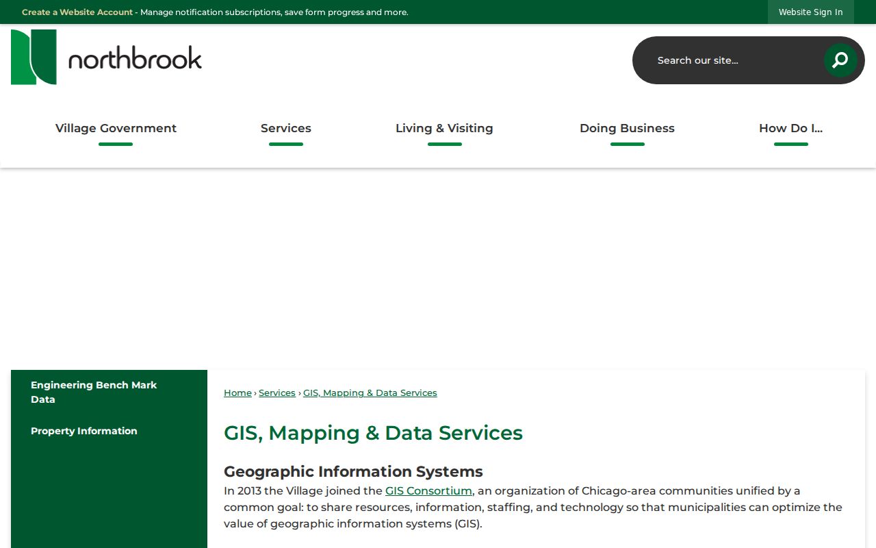
The Village GIS Mapping and Data Services page explains the local mapping route and its reference-only role. Northbrook joined the GIS Consortium in 2013. Current layers include subdivision, school district, precinct, floodplain, road jurisdiction, impervious surface, waste service, zoning, and planning context. These layers describe geography. They do not identify families or establish legal title.
The captured GIS page shows the official local access point.
For survey, title, or legal-boundary questions, use the recorded plat or certified record. The map’s clean lines are a starting aid, not a legal conclusion. This is especially important near subdivision and jurisdiction boundaries.
Address Context for Northbrook Neighbors
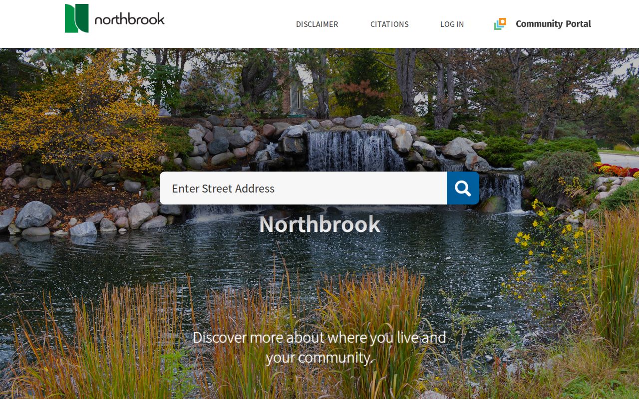
The Northbrook Community Portal accepts an address and can return property details, zoning, school districts, elected officials, subdivision information, and a map gallery. That mix supports a useful geography-first check. It tells a reader which public bodies and mapped areas relate to the site before names are interpreted.
The successful portal capture preserves the address-search surface.
Keep school and precinct layers in their proper scope. A district assignment says nothing about a household’s members. Precinct labels can change, and Illinois voter records have separate access rules. A dated map label is safer than an unsupported claim about the people on the block.
Northbrook Block Plats and Declarations
A subdivision name can connect the map to a recorded plat. In the Cook County Clerk index, search a known PIN, legal description, subdivision, party, document type, or date range. A plat describes lots and blocks; an easement gives a defined use right; a declaration may state recorded restrictions or an association framework. These are land records, not member rolls.
- PIN
- The parcel identification number used to join county map, assessment, tax, and some recording records.
- Plat
- A recorded drawing that divides or describes land into lots, blocks, streets, or easements.
- Legal description
- The formal land description in a deed or plat, which is different from a mailing address.
- Recorded party
- A person or entity named in a filed document in a specific role and on a specific date.
If the web index fails, use the Clerk recording counter, copy route, email help, or a PIN-and-date-specific request. Village Hall can supply municipal plats, permits, meeting files, or subdivision records through the department or Northbrook FOIA route. Broad requests for “everyone on the block” are less useful than a named plat, address, PIN, document type, and date span.
Northbrook Community Directory Layer
No complete official Northbrook neighborhood-association or block-club member directory was located. Public alternatives still provide a real community layer. The Village Board, Community Commission, Library, Historical Society, public events, gardens, cemeteries, subdivision records, and meeting archives can identify organizations, public officeholders, applicants, speakers, or dated projects. The Village Resource Directory organizes service contacts by category, not by household.
Community Commission
Use current commission, program, and event pages for named public roles and dated activities.
Northbrook Public Library
Ask Reference about local directories, newspapers, images, and collection access.
Historical Society
Arrange archive access for photographs, neighborhood files, and dated local leads.
Village Public Works
Use the Village cemetery route for North Northfield and Northfield Union Cemetery questions.
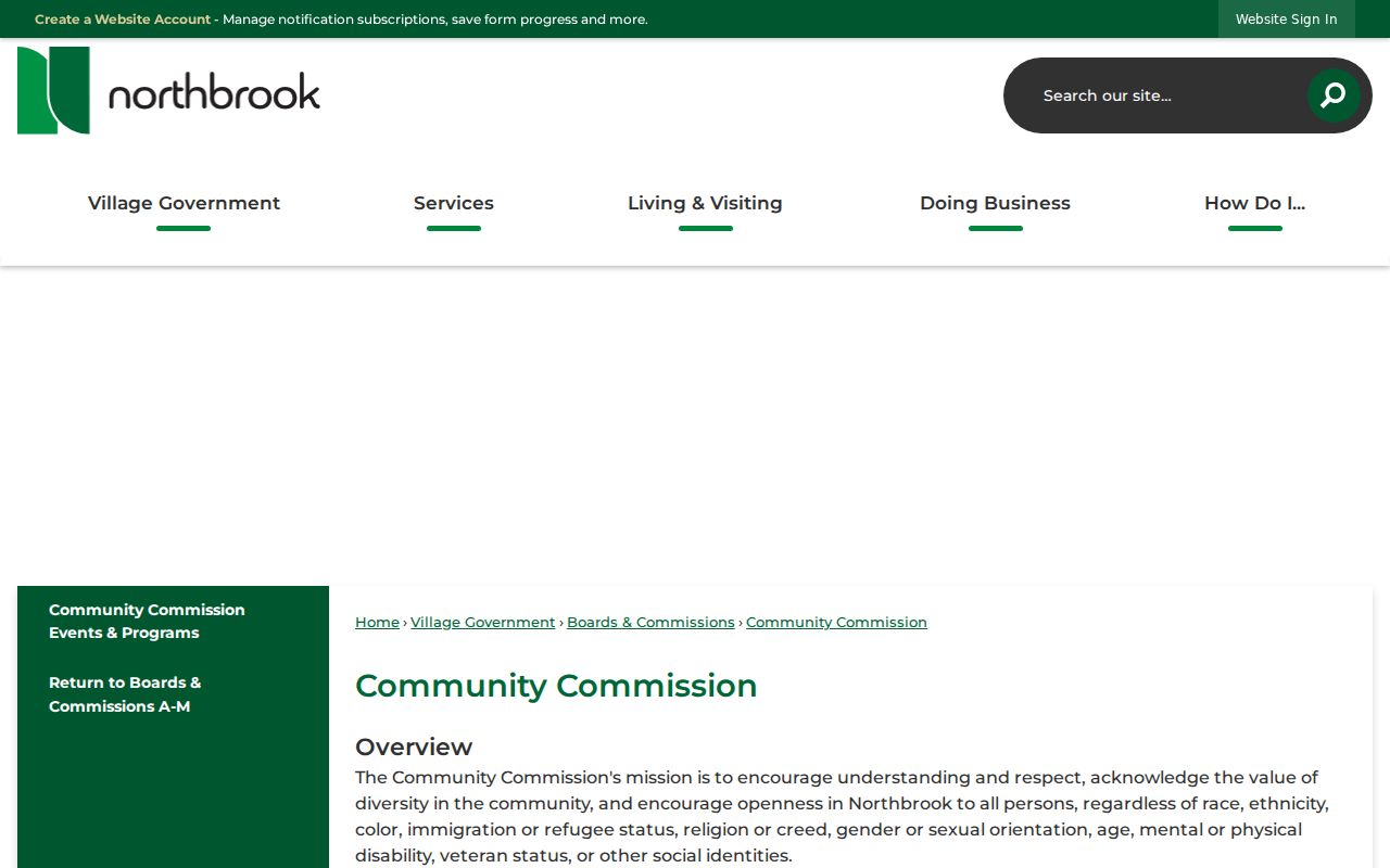
The Commission capture illustrates one official route into community activity.
Official Northbrook Neighbor Records
Official sources and commercial neighbor tools answer different questions. Government records preserve a defined field, custodian, and date. Commercial compilations may combine old addresses, phone data, and inferred relationships without showing how each claim was formed. For a block question, source transparency matters more than the size of the name list.
| Approach | Useful for | Main limit |
|---|---|---|
| Village or county map | Parcel, district, subdivision, and geographic context | Reference map is not proof of title or occupancy |
| Official property or recording record | Assessment fields, tax-mail data, recorded parties and documents | Each name has a narrow role and date |
| Library or archive source | Past block entries, news, images, and community history | Historical listing does not prove current residence |
| Commercial compilation | Possible lead for further checking | May be stale, merged, or unsupported; verify at the custodian |
For Northbrook neighbors, retain the smallest amount of personal detail needed to answer the lawful question. A parcel number and document date may be enough. Publishing a speculative household list is not.
Historical Northbrook Neighbors
Older block research adds a time dimension. Compare a dated plat with a directory edition, phone book, newspaper notice, meeting file, or photograph. The Library’s 1999 report noted local newspaper microfilm from 1942 forward and Glenview/Northbrook phone books from 1978 forward, but current holdings must be confirmed. The Historical Society and Newberry can provide other local or regional leads.
Search Shermerville as well as Northbrook for material before the official February 1, 1923 name change. Keep the old spelling in the source transcript and a modern normalized address in another field. This preserves the evidence without implying that today’s street or parcel layout was identical.
Note: Historical directory and newspaper names describe a dated source, not the present identity or occupancy of Northbrook neighbors.
Northbrook Neighbor Voter Boundaries
The Illinois voter lookup is a two-stage confirmation for a known individual. It asks for first name, last name, birth date, and five-digit ZIP, then uses street number and a street-name choice. It is not a tool for browsing all voters around an address. Cook County voter information and official precinct maps can supply election context without building a household list.
Illinois Election Code section 10 ILCS 5/5-7 governs registration-card inspection and electronic data. It calls for redaction of sensitive fields in electronic data and restricts improper personal, commercial, threatening, or deceptive uses. State data files are available only through narrow political-purpose rules. A FOIA request does not defeat those limits.
Privacy for Northbrook Neighbors
Public records do not reveal every occupant. Utility, delivery, protected-address, and many household details are not open neighbor fields. Illinois also operates an Address Confidentiality Program that can substitute an address for eligible participants. A tax-mail recipient, voter match, deed party, or directory entry should never be promoted to “current resident” without current, independent support.
Lawful use. Research Northbrook neighbors for block history, civic context, reconnection, or personal safety, never to watch, intimidate, harass, or harm anyone.
Close the work log with the center address, adjacent PINs, record type, date, exact source field, and unresolved gap. That reproducible worksheet is more accurate than a broad list of names and gives the next researcher a clear route back to the custodian.